
School of Spatial Information Technology
Dr. K. Padma Kumari
Professor &HoD
School of Spatial Information Technology
IST, JNTUK, Kakinada.
Email: sit.jntuk@gmail.com
Welcome to School of Spatial Information Technology
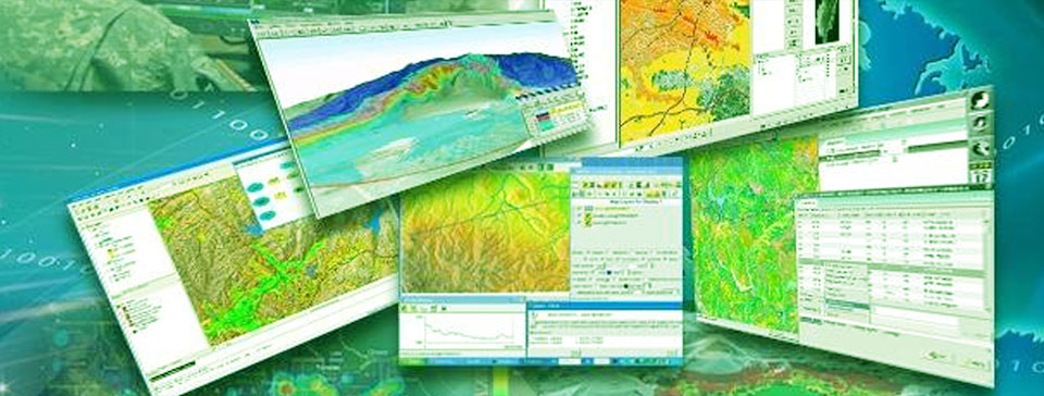
Remote Sensing and GIS is a relatively young scientific discipline and is an area of emerging technology which has witnessed phenomenal growth over last three decades. In the recent past, there has been tremendous development in the field of Remote Sensing data collection, analysis and utilization.
Applications of Remote Sensing & GIS
Uses of Remote Sensing & GIS range from indigenous people, communities, research institutions, environmental scientists, health organisations, land use planners, businesses, and government agencies at all levels.
Some examples include:
- Natural Resources Management
- Land use/ Land Cover mapping
- Disaster Management
- Environmental / Ecological Management
- Weather Forecasting
- Satellite Image Processing
- Tele-Communications, Agriculture, Archaeology,
- GIS for Hydrology, Electrical Distribution systems, Road networking
- Wastewater and storm-water systems, Solid Waste management
- Crime mapping and many more Utility based projects....
India in Remote Sensing & GIS
India being the pioneer in Space application during the current times, Remote Sensing & GIS has also been blooming to the next level in "Digital India". Since two decades, India has contributed a lot in the knowledge development, enhancement and sharing in Remote Sensing and GIS Technology.
Many Educational Institutions initiated academic disciplines/professional courses as Forestry (green cover estimation), Geology (mineral maps), Agriculture (crop disease estimation), RS & GIS in Satellite Technology, Engineering, Urban planning, etc. RS & GIS technology is widely being used in various projects on disaster management, urban planning, etc.
The digital data handling led to the development of GIS (Geographical Information System) followed by another innovation of GPS (Global Positing System). Remote Sensing coupled with GIS and GPS techniques has dramatically enhanced human capability for resources exploration, mapping and monitoring on local and global scale.